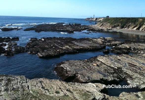
From rolling waves to rolling hills, wineries to breweries and redwoods to red wines, Mendocino County in northern California is a beauty with much more than a beach.
This is a guide to the scenic drives of Mendocino County. So fill up the tank, put on the sunglasses, drop the top if you’ve got a convertible and get those highway tunes playing. It’s time to roll through Mendocino.
• CALIFORNIA HIGHWAY 1
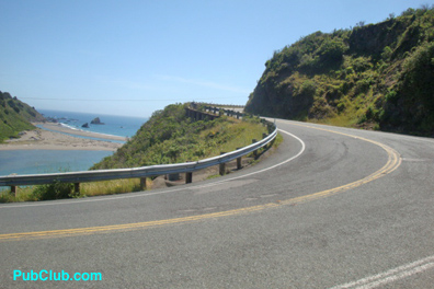
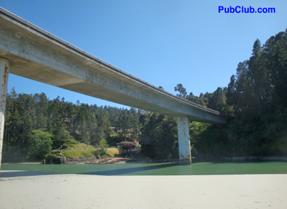
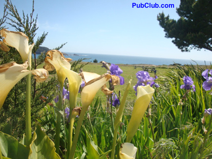
One of the signature landmarks in the state of California is not the Golden Gate Bridge, the Santa Monica Pier or even the Hollywood sign.
It’s a largely two-lane piece of asphalt called California Highway 1, or the Pacific Coast Highway. It runs the length of the state and while the most beautiful parts of it can provide timeless debates, there is no arguing that the section running through Mendocino County is among the most beautiful drives in all of America.
This is not to say the 101, the major (and quicker) highway to the east of the 1 is not scenic; if it were the only road in the area people would marvel at its beauty. But it simply cannot compare to what can be seen along the coast.
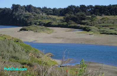
In Mendocino County, California 1 begins at Gualala Point Regional State Park, which offers day hikes, kayaking and picnic spots (parking $6). The Gualala River spills into the Pacific here, which is also where the San Andreas Fault meets the ocean. A mile north is Gualala, where bald eagles nest and rest during the winter.
At this point, it’s up to one’s schedule as to how many stops to make at the many scenic pullovers. This place has more highlights than SportsCenter. The old logging towns, which used to roll redwoods to build San Francisco during the Gold Rush, are 25 mph slow points along the way.
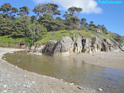
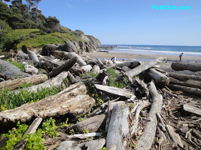
A recommended stopping point is Schooner Gulch State Beach (heading north, it’s just past a bridge with an open view of a beach between two cliffs; parking is to the immediate left). There are two 2-minute trails to the beach. One leads to a river-meets-the-sea spot covered in driftwood and another features boulders that have been shaped round by time. Visible at low tide, this is known as Bowling Ball Beach.
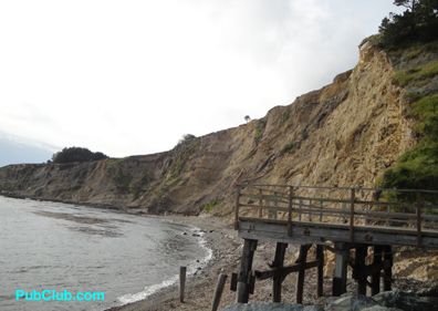
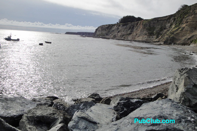
At Point Arena, follow the “Coastal Route” sign just after the turn and before the town; it leads to a pier with commercial and public fishing (free; no license required). The deck of a restaurant/bar is a tempting target. For scuba divers, there is the Arena Point Underwater Preserve, which includes a sunken freighter.
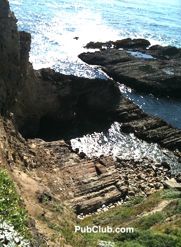
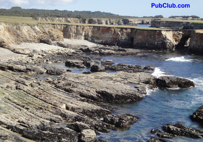
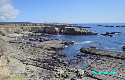
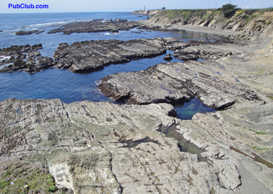
Any plans to continue at a steady pace come to a screeching halt just a few miles north at the Point Arena Lighthouse. Part of this rugged coastline looks like the coast of Ireland (only with better weather) and part of it looks like a moonscape. The lighthouse and adjacent museum are open to tours (10 a.m.-3:30 daily, $7.50 for adults) but the views from the neighboring cliff have no opening or closing time. This is, quite simply, one of the most beautiful places in California.
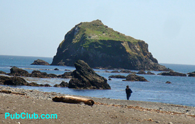
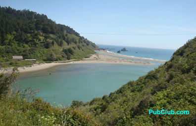
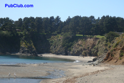
Of course, Mendocino is not finished just yet – not by a long shot, in fact. It’s not far to Little River, a cove for kayaking and abalone diving (no tanks and recommended for experts only), and Van Damme State Park. Ideal for hiking (and there’s overnight camping, as well) the park is home to the Pygmy Forest, where poor soil conditions stunt the growth of trees; cypress and pine trees are as small as a few inches to a few feet.
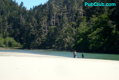
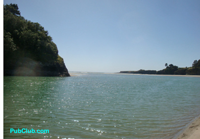
The town of Mendocino introduces itself at Big River, a cove and beach that looks as if it could be in the Caribbean. (One step into the cool water will convince one otherwise; dogs don’t seem to mind the temperature, though.) Back from the beach is a river perfect for kayaking that looks as if it could be in Montana. A trail at the end of the bouncy parking area (free) is popular among mountain bikers. Big River Beach at Mendocino Headlands State Park is just to the east of the bridge that goes over the area; the turn-in point is on the north side of the bridge.
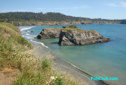
A few more scenic moments and it’s into Mendocino itself. The town can make first-time visitors seem lost at first, as if they blinked and wound up in a New England fishing village. But that’s just the decor (Angela Lansbury’s Murder She Wrote TV show used what is now a B&B as the home of lead character Jessica Fletcher). The real star of Mendocino are the cliffs, which provide a commanding views of the vast Pacific Ocean.
A second lighthouse, Point Cabrillo Lighthouse Park, is just around the corner. This is an ideal spot for whale watching in the late winter and early spring; the annual Mendocino Whale Festival is held for two weekends each March.
Fort Bragg awaits just a few miles to the north, but the thriving fishing port of Noyo with its fresh seafood restaurants and fish markets can intercept anyone for a stop. Then it’s over a bridge before entering Fort Bragg.
Finally, there’s Fort Bragg, which is full of B&Bs like the Grey Whale Inn just past downtown (615 North Main Street, check-in times are between 2-6 p.m.. 800-382-7422. GreyWhaleInn.com.) Fort Bragg has a glass beach (safe to walk but watch the walk to the beach), MacKerricher State Park (dunes, wetlands and coastline, three miles north of town) an art walk with some wine offerings every First Friday and North Coast Brewing Company. The latter is one of four breweries in Mendocino County and serves its fresh-brewed beer in a restaurant specializing in great steaks.
It’s an ideal way to end a long and rewarding day of driving the Mendocino Coast.
• HIGHWAY 128 – WINE COUNTRY & NAVARRO RIVER REDWOODS
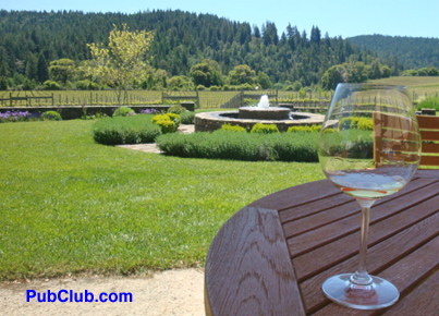
Pairing wine with redwoods may seem as odd a combination as Sandra Bullock and Jesse James, but in this case it works. And it does so along Highway 128.
Running north-south between the 101 and the 1, the 128 cuts right through the Anderson Valley Wine Country and its dozens of wineries. More than 20 wineries are located here, the vast majority starting just five miles north of Boonville. From there, it’s one right after another – winery to the right, winery to the left, and there are lots of visitors in town.
And for those going from south to north, just when it seems there are even more wineries to come, soon after Roederer Estate the landscape suddenly changes faster than the summertime fog rolls into San Francisco. A market with gas pumps and a totem pole mark the spot, and suddenly the open fields of the wineries give way to giant trees.
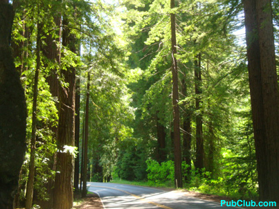
These are the Navarro River Redwoods and they nearly overwhelm the suddenly tight and winding road. It’s one of the few places that is more difficult to drive when the sun is out than when it’s cloudy or even raining. That’s because slight clearings in the canopy create constant light-and-dark situations; take the speed down appropriately through the forest. There are several turnouts on both sides of the road.
Watch out for the occasional logging truck; these private loggers know the road and make their money on the amount of timber they deliver in a day, so they are in slightly more of a hurry than the average tourist.
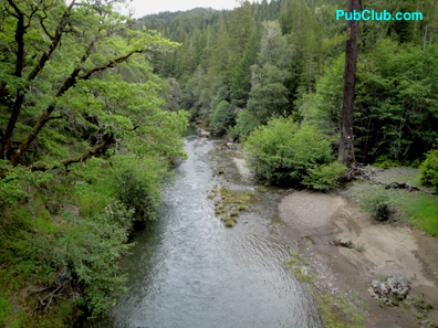
As suddenly as the redwoods appear, they disappear. Heading north, the road parallels the suddenly visible Navarro River. A bridge heads to Highway 1 South, while continuing straight becomes Highway 1 North. This is yet another beautiful scene along the 128.
There are more wineries on US 101 north and south of the county seat of Ukiah. In fact, the region’s biggest and oldest wineries can be found along the 101. And just to the south, Hopland is a hotbed of tasting rooms and vineyards.
• MENDOCINO COUNTY MOUNTAIN ROADS
Just a few miles from the sea, Mendocino manages to make mountains out of molehills. This happens along Highway 253, which connects the 101 to Boonville, and Mountain View Road, which goes from Boonville to the Pacific.
Highway 253 is only 17 miles in length but can take a half-hour or more to traverse. And traverse is a good word because it’s often like taking one of those trails at a ski resort – up, down and around curves. It’s well-paved, smooth, plenty wide and hardly harrowing for any experienced driver. There are occasional Highway Patrol cars making sure no one is out of control but really it’s almost impossible to go more than 40 mph on most of it.
There are occasional turnouts to let traffic pass but they can also be used for scenic stops. The look down from the top over the lush valley is enough to make one want to pull out the picnic basket and stay a while (but don’t do it). The most spectacular stops are on the side of the road traveling from west to east.
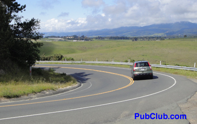
Yet the 253 is a mere practice lap when compared with Mountain View Road. This is a serious road for serious drivers with more curves than the PubClubettes. Its elevation changes as often as a woman’s mind.
It can also be a thrill to drive for some, coming down a hill into a sharp right- or left-hander followed by punching the pedal to get up a steep grade. Which leads right back into the same scenario. It’s ideal territory for a European spots car.
This continues for about 20 miles; the journey can take 40 minutes to an hour. There are a few turnouts but they are hard for the driver to spot because he/she must concentrate so much on the road. Still, some sights looking over a cliff to the vast expanse of the valley floor and the next range of tree-covered hills is nothing short of spectacular. Don’t be surprised to encounter deer and, near the coast, perhaps even a peacock crossing the road.
One might even see people riding the rapids of the Navarro River; it’s a very popular spot in the summer, especially the section from Mountain View Road north to Hendy Woods State Park.
For those heading west, Mountain View Road ends at California 1; turn left and a few miles past vast farmland – yes, farmland – is the Port Arena Lighthouse.
More Mendocino County Posts:
• The Bars Of Mendocino County, Including California’s Original Craft Brewery
• Mendocino Full Guide Articles – PubClub

Leave a Reply
You must be logged in to post a comment.